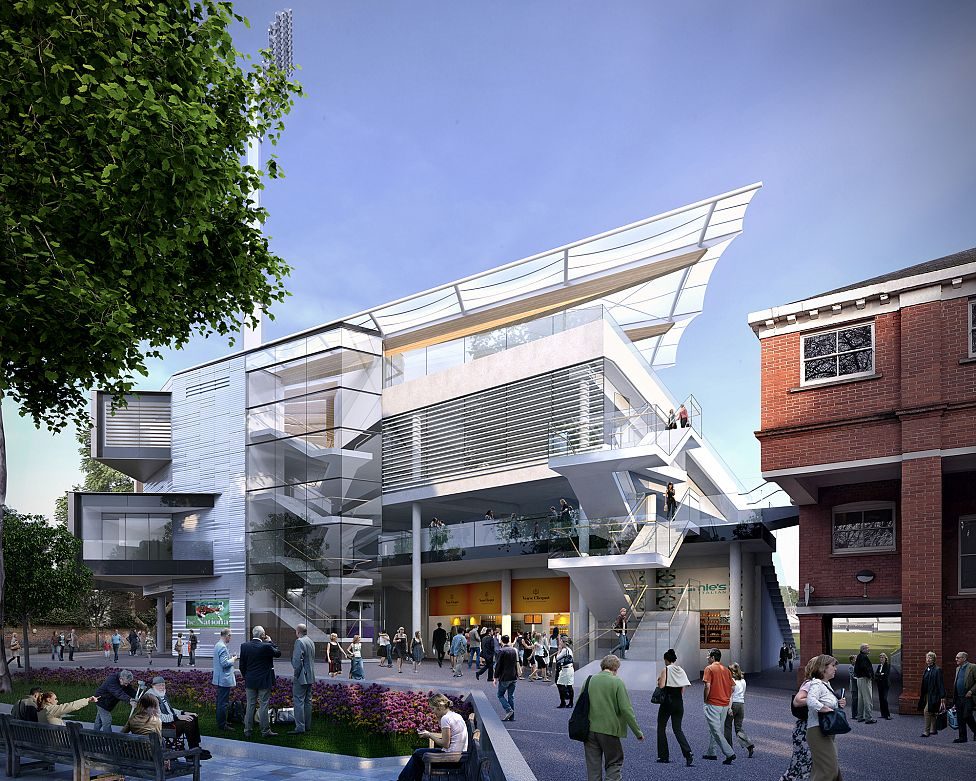
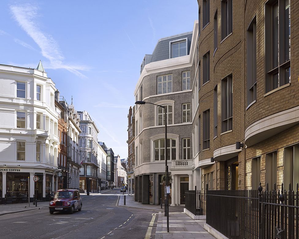
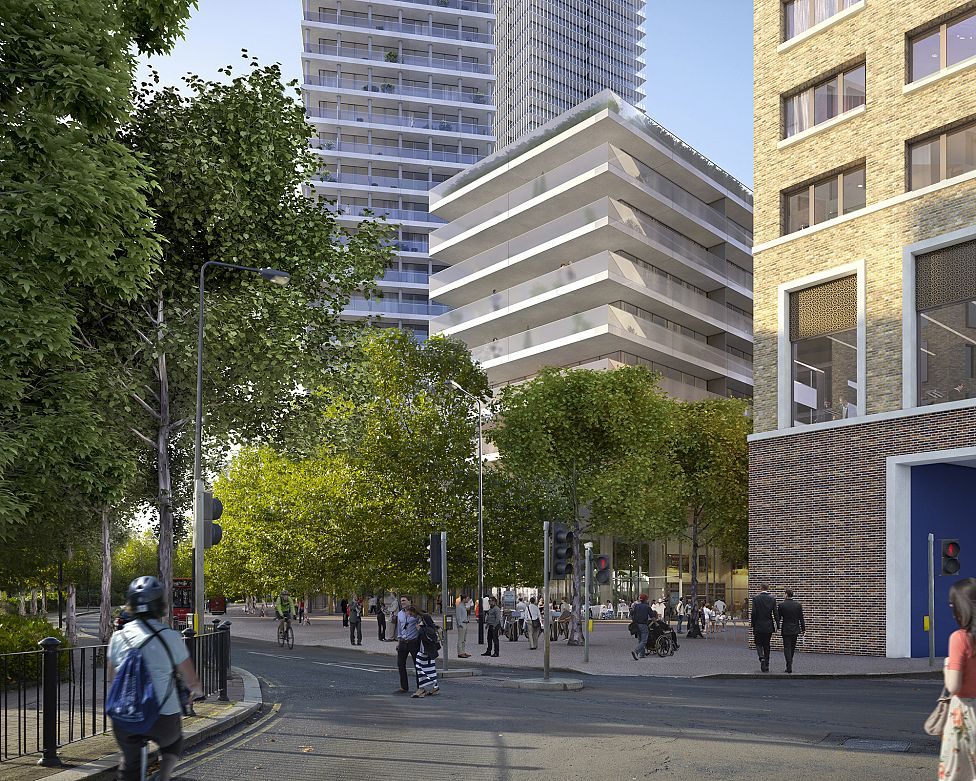
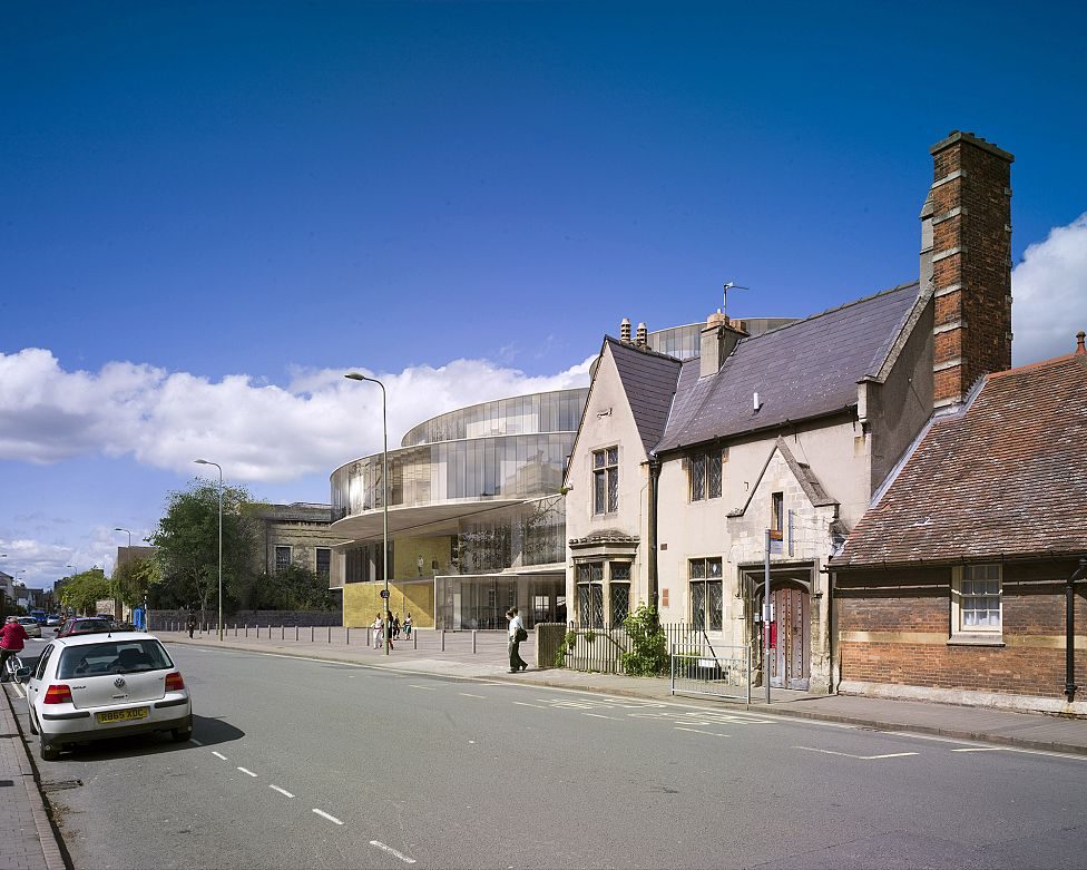
GMJ pioneered ‘verified planning imagery’ as a new process in 1994. Combining survey data, photography and the 3D proposal model an accurate and verifiable image of the planned proposal can be generated. Today, most major Central London planning projects require ‘verified imagery’ or as it is better known today ‘accurate visual representation’ (AVR) views for Townscape Visual Impact Documentation.
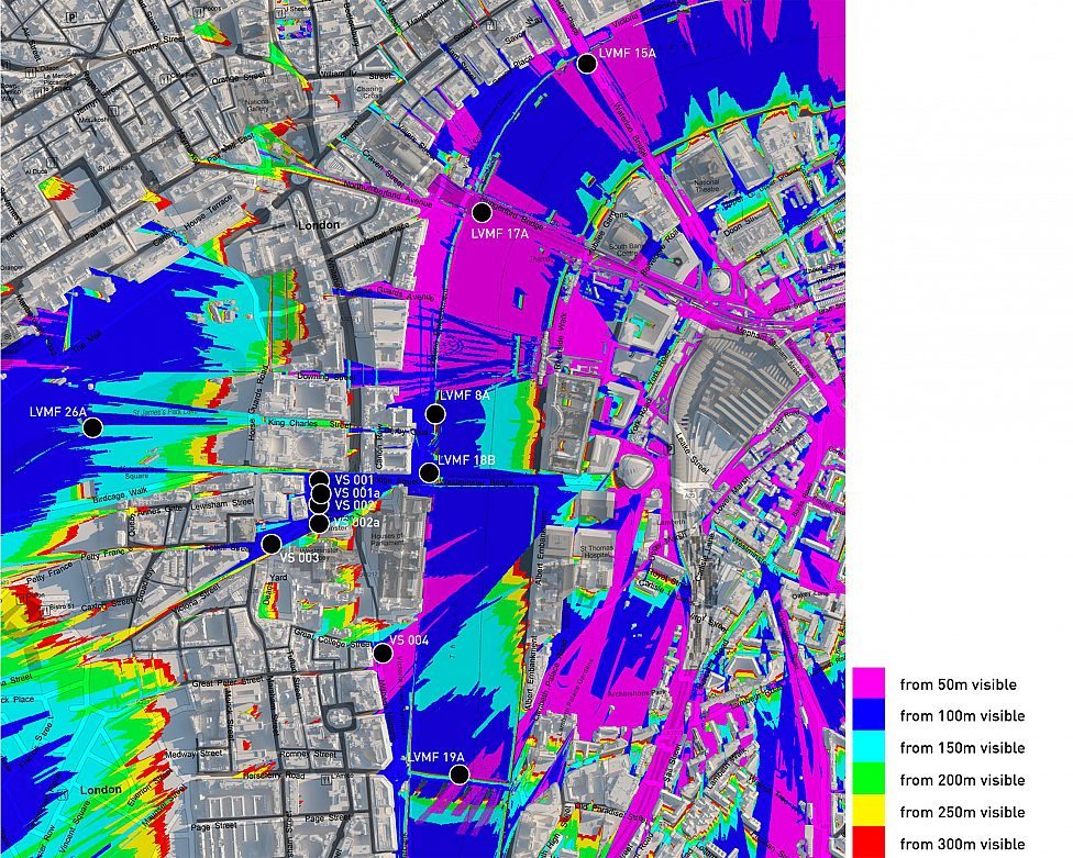
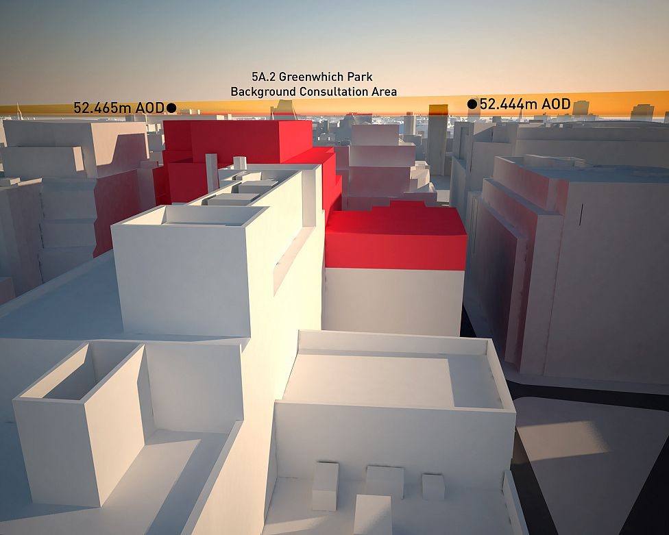
Alongside producing views for planning GMJ provide a suite of services to enable the design and development team to fully understand the impact of townscape issues on any given site. These services include; Visibility Analysis, Site specific 3D Build Envelopes, View Scoping Reports, Sunlight & Shade studies and others. All of which can be generated in hours, not weeks.
This early knowledge empowers the development team and can save time spent working up proposals that will not meet specific planning guidelines. The value of this input is such that developer clients now use GMJ to assess site development potential before or during the site acquisition process.
